Buying raw rural acreage in Central Texas calls for an unhurried, rigorous look at what lies beneath the surface. Under the live oaks and rolling horizons of the Edwards Plateau are groundwater rules, karst limestone geology, and property-tax structures that shape long-term ownership.
1. Groundwater Hydrogeology & Private Well Permitting
Unlike surface water, which is owned by the State of Texas and allocated by permit, Texas groundwater is governed by the common-law Rule of Capture. In simple terms, landowners have the right to pump the groundwater beneath their tracts. Across Central Texas and the Edwards Plateau, however, that right is tempered by local Groundwater Conservation Districts (GCDs), such as the Blanco-Pedernales GCD, the Hays Trinity GCD, and the Barton Springs/Edwards Aquifer Conservation District, which set spacing, registration, and permitting rules.
Before going under contract, ask for the existing well’s driller’s report (the State of Texas Well Report) and, on undrilled tracts, review nearby well reports in the Texas Water Development Board (TWDB) and TDLR databases for depth and yield. Reaching the Middle Trinity typically means drilling through the Glen Rose limestone, and the well must be properly cased and cemented to protect against surface contamination. Buyers should also check the district’s spacing and acreage rules: some Hill Country districts require a minimum tract size (often several acres, though it varies by district) before a new exempt domestic well will be registered without a variance. Confirm the current rules with the GCD before the option period ends.
“In Texas, surface water is owned by the State, but groundwater follows the Rule of Capture—tempered only by the jurisdiction of local Groundwater Conservation Districts.”
— Summary of Texas Water Code, Chapter 36
2. On-Site Sewage Facilities (OSSF): Septic Systems on Karst Limestone
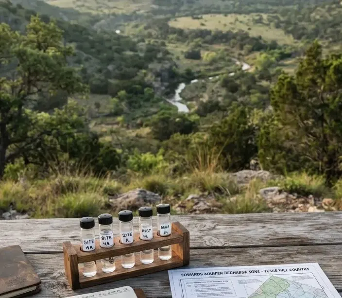
The distinct topography of the Texas Hill Country consists of weathered karst limestone—porous, fractured rock formations laced with sinkholes, subterranean caves, and solution conduits. This geology often leaves too little soil for a conventional septic drain field. Across the Edwards Aquifer Recharge and Contributing Zones (parts of Travis, Hays, Comal, and Bexar counties, among others), the Texas Commission on Environmental Quality (TCEQ) adds Edwards Aquifer protection rules on top of the standard on-site sewage rules, which are administered locally by county or district authorized agents.
On shallow, rocky homesites a site evaluator will often find that a conventional gravel trench is not feasible and will instead specify an aerobic treatment unit (ATU) with surface spray or subsurface drip, or another engineered system. State rules (30 TAC Chapter 285) also set minimum setbacks — for example, roughly 150 feet from a public water well and 50 to 100 feet from a private well — and restrict systems in floodways and near sensitive features. Counties and river authorities may impose stricter local rules, so confirm requirements with the local permitting authority before you design.
OSSF Architectural Comparison
Hill Country terrain suitability for private residential sewage treatment
| Technical Feature | Conventional System | Aerobic Treatment Unit (ATU) |
|---|---|---|
| Soil Requirement | Deep loam or sandy soil (Class Ib / II, 24 in+) | Shallow clay, caliche, or exposed karst rock |
| Limestone Compatibility | cancel Severe / Impractical | check_circle Common Hill Country choice |
| Maintenance Contract | Not legally mandated (recommended pump 3–5 yr) | Maintenance contract typically required (about 3 inspections/yr) + disinfection |
| Approximate Cost | $12,000 – $16,000 | $18,000 – $26,000+ |
| Permitting Complexity | County environmental department sign-off | Design by a Registered Sanitarian (RS) or engineer |
3. 1-D-1 Agricultural & Wildlife Tax Valuations
The property tax profile of rural Texas acreage differs radically from suburban residential land. Under Article VIII, Section 1-d-1 of the Texas Constitution, qualified land devoted principally to agricultural production—or converted directly to wildlife management—is appraised based on productive operational capacity rather than speculative fair market value.
The difference can be substantial: on unimproved acreage, taxes under productivity appraisal are typically a small fraction of what market-value taxes would be. Exact figures depend on the county, the land’s productivity class, and current tax rates, so confirm them with the county appraisal district (CAD). Keeping the valuation in place means understanding a few statutory rules:
The Five-of-Seven-Year History
Land must have been devoted principally to a qualifying agricultural use (livestock grazing, hay, timber, beekeeping and the like) for at least five of the preceding seven years, at the degree of intensity typical for the area, before it qualifies. The CAD publishes its intensity standards.
The 3-Year Rollback Penalty Danger
If an owner changes the land’s use to a non-qualifying use — for example, subdividing acreage into residential lots or simply stopping the agricultural operation — the county appraisal district assesses a rollback tax equal to the difference between the taxes paid at productivity value and the taxes that would have been due at market value for the previous three years, plus 5% interest per year (land under the older 1-d appraisal carries a five-year rollback).
1-D-1 Wildlife Management Conversion
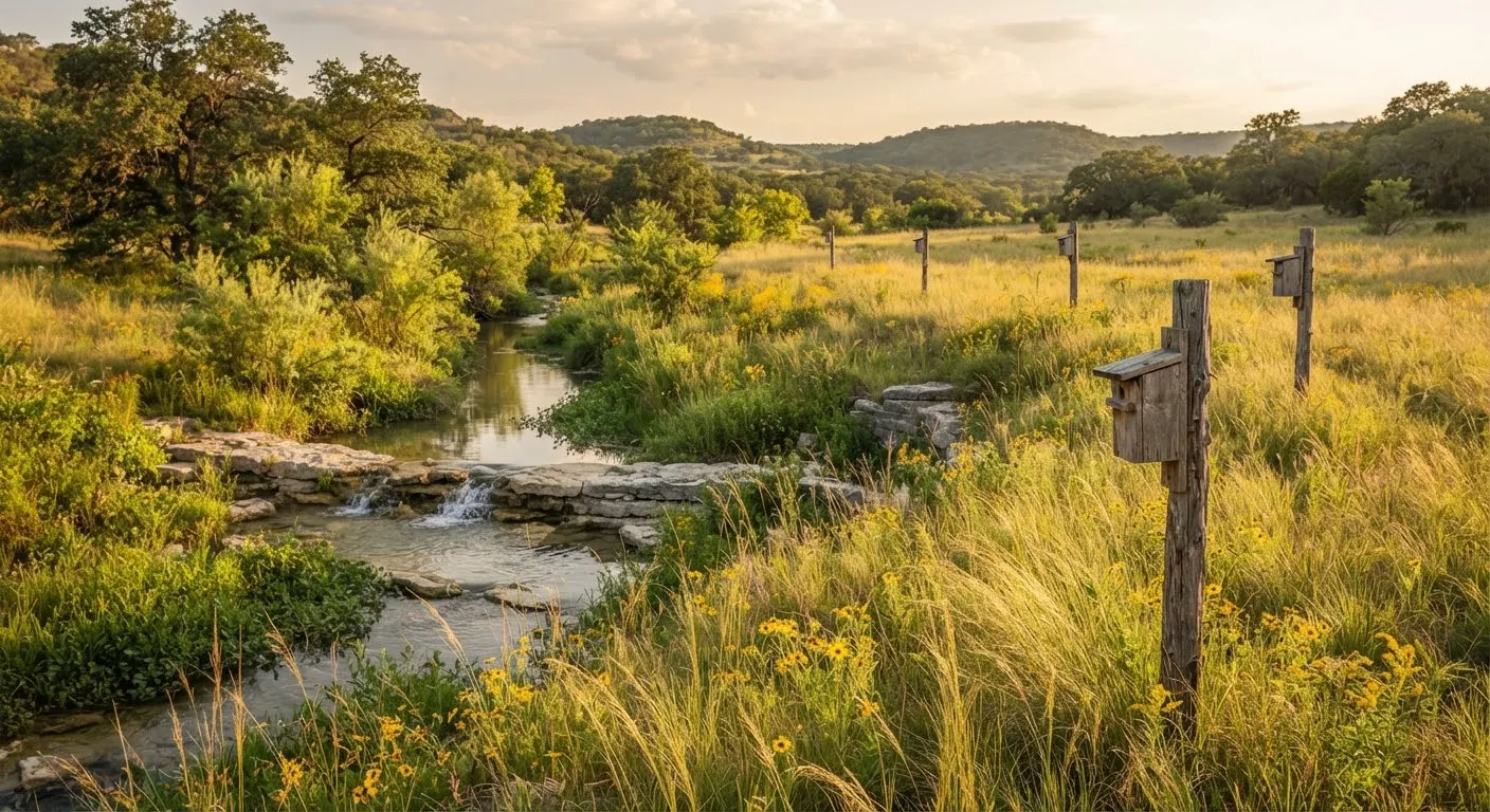
If acreage already carries an agricultural valuation, the owner may apply to the CAD to convert it to wildlife management use, filing a wildlife management plan on the Texas Parks and Wildlife Department (TPWD) form. This replaces livestock or crop production with active participation in at least three of seven approved practices (habitat control, erosion control, predator control, supplemental water, supplemental food, providing shelter, and census counts). Minimum acreage rules may apply if the tract was recently subdivided, so check with the CAD first.
Essential Pre-Acquisition Land Diligence Checklist
Before your option or feasibility period expires, work through these six infrastructure, environmental, and title items:
-
check_box
Verify GCD well spacing rules and the existing well report
Confirm the tract meets the district’s minimum acreage and setback rules, and review nearby well reports for depth and yield.
-
check_box
Review county OSSF records and the site’s soil depth and slope
Have a licensed site evaluator assess soil class and depth so you know which system type the site will support and what it will cost.
-
check_box
Audit current county appraisal district (CAD) 1-D-1 ag status and active lease
Request the application on file, any grazing lease, and the past five years of appraisal records to confirm the use history and your rollback exposure.
-
check_box
Verify recorded legal access and the easement width
Confirm the title commitment shows recorded, insurable access; many counties expect an access easement of roughly 30 feet or more for a new homesite, and lenders will want it in writing.
-
check_box
Check FEMA 100-year base flood elevation (BFE) across low-water crossings
Review digital flood maps to ensure building envelopes and ingress roadways remain safely dry during flash flood events.
-
check_box
Confirm lighting ordinances, deed restrictions and any HOA
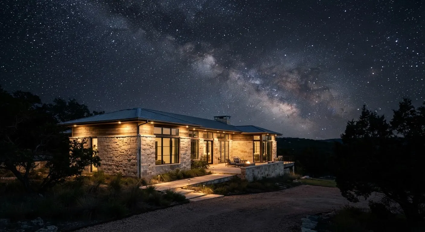
Inside Dripping Springs, Wimberley and their ETJs, outdoor lighting must meet the local dark-sky ordinance; elsewhere, check the deed restrictions and any HOA covenants recorded against the tract.
Searching for verified acreage with clear water rights?
Explore our curated Texas Hill Country ranches and legacy parcels, many with existing well reports, boundary surveys, and 1-D-1 agricultural valuations already in place.
Browse Texas Land →